$
- Price is in US dollars and excludes tax This is a secure SSL encrypted payment.

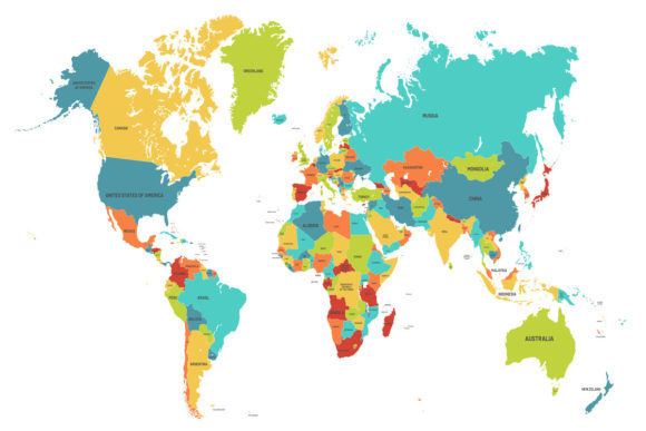
Colored world map. Political maps, colorful world countries, and country names. Geography politics map, world land atlas, or planet cartography vector illustration.
Product file:
• One vector EPS10 file
• One JPEG 72ppi as a preview
If you want to separate elements, remove or edit something, please use vector editor e.g. Adobe Illustrator.